
Around 32 million people were under winter alerts Saturday as Floridians brace for bitter cold and snow takes aim at the southern Appalachians and the Southeast.
Record lows are likely this weekend in many Florida cities including Daytona Beach, Jacksonville, Orlando, Tallahassee, Pensacola, Miami, Melbourne, Key West, West Palm Beach and Gainesville.
Miami could see its coldest temperatures in over a decade with an overnight low of around 35 degrees. This will be a damaging freeze for Florida, with wind chills hovering in the single digits across northern parts of the state and in the teens across central Florida.
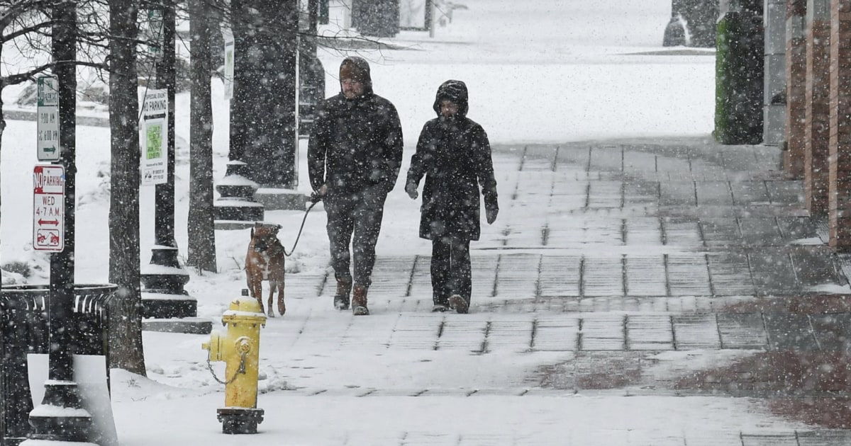
As of Saturday afternoon, snow was falling in parts of the Carolinas, Tennessee and Georgia and will remain persistent through Sunday morning.
This weekend’s snowfall comes a week after a massive snowstorm killed over 100 people across the U.S., including 21 people in Tennessee and 17 in Mississippi.
There is a dry patch over central parts of North Carolina, which may lower the accumulation in Raleigh, but eastern parts of the state are still expected to see at least 6 to 12 inches of snow by Sunday morning.
The combination of strong, gusty winds near the coast will create near blizzard conditions, which will greatly reduce visibility and cause dangerous conditions late Saturday and overnight. The strong winds will also raise the risk of coastal flooding, with 2 to 4 feet of inundation possible for the Outer Banks of North Carolina.
Parts of North Carolina, including highways, were covered in a fresh white blanket of snow Saturday morning. A semi-truck was stuck in the snow on Interstate 40 near Iredell County along the state’s border with Tennessee, according to a video from the North Carolina Department of Transportation. Snow began falling in Jacksonville near the North Carolina coast Saturday afternoon.
“For the safety of our crews, first responders and yourself, please avoid unnecessary travel today,” the department asked residents.
The North Carolina State Highway Patrol reported 340 collisions on Saturday. In Gaston County, a train slammed into a semi-truck on Saturday morning, according to the Gastonia Police Department. No one was injured in the crash, police said.
A curfew is scheduled to go into effect for coastal Onslow County on Saturday at 6 p.m. until 6 a.m. daily until further notice due to the winter storm.
Heavy snowfall rates of 1 inch per hour were forecast for Piedmont, South Carolina, on Saturday afternoon, according to the National Weather Service Storm Prediction Center.
The storm is expected to intensify and expand Sunday as it heads out to sea, affecting Cape Cod, Nantucket and Martha’s Vineyard in Massachusetts. As the low moves offshore mid-morning, snow will come to an end for all except eastern Massachusetts.
A quick burst of snow will continue through Sunday afternoon before coming to an end in the evening. Even after the snow tapers off, the weekend will remain breezy and cold across the Mid-Atlantic and Northeast, with wind gusts of 30 to over 60 mph possible.
Snowfall accumulations as of Saturday afternoon include 9 inches in Gatlinburg, Tennessee, 7.5 inches in Tiger, Georgia, and 4 inches in Charlotte, North Carolina.
For the rest of the Northeast, Sunday will be dry, blustery and very cold.

Arctic blast and record cold
Around 133 million people were under cold weather alerts Saturday afternoon in areas that stretch from Texas to Massachusetts.
The cold air has a grip on the eastern half of the nation, with temperatures 10 to 30 degrees below average, especially from the southern Plains to the East Coast. Highs on Saturday across the Midwest, Ohio Valley and Northeast will remain below freezing, with temperatures struggling to climb out of the teens and 20s.
The freezing temperatures will also affect much of Mississippi, Louisiana and northern Georgia, with the next push of frigid air on Sunday sending temperatures tumbling down in Miami.
The air will warm slightly on Monday, but temperatures across the East Coast will remain below average through most of next week.


